georeferencing offer Sige on youtube

Subscribe for new common shares The georeferencing offer we propose concerns mainly structures owning a large amount of selling points, meanwhile Google is about to gro the commercial potential of its app Maps Indeed, if georeferncing a shop in Google maps seems simple, scale up this operation to a national or international network requires a…

Al Hoceima National Park

To promote the Al Hoceima National Park as a touristic destination, Sige developed and published : – An interactive map showing touristic assets of the Park, – Virtual tours of the most outstanding places of the Park : Adouz, Bades, Cala Iris, Torres, – An Android and iOS mobile app for visitors, embedding the map…

We are now on Youtube !

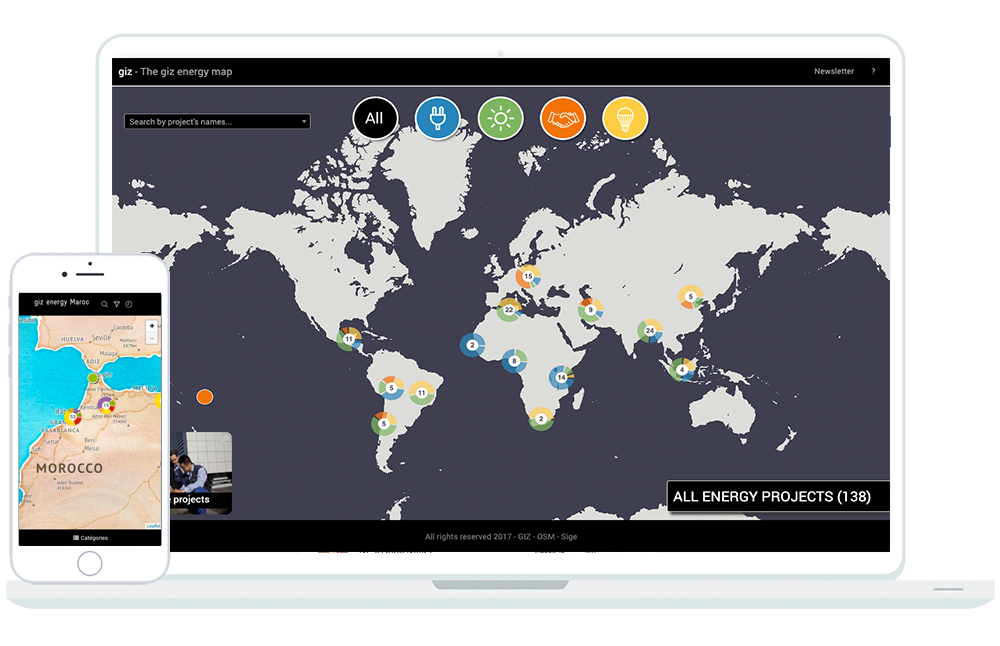
Subscribe for new common shares Find our interactive map introduction video on Youtube ! Sige’s interactive map is the best way to geographically show your projects, data and all web content. Feel free to contact us for a free quotation ! Energy Interactive map of GIZ in Morocco Our projects with the interactive map Interactive…

Interactive Map

The Sige interactive map is a tremendous communication tool to present your projects or activities in a structured, geographical and friendly way. The map is completely customizable to adapt to your visual identity: title, logo, colors, bottom of plan, categories, contents and features. Its 100 % Web conception, allows to integrate all type of content:…

Virtual visit of Oukaïmeden

As part of the reinforcement of its digital communication, the Toubkal National Park asked Sige to produce virtual tours of two remarkable sites: The Oukaimedens’ site, The Botanical Trail over the Ecomuseum These visits allow the visitor to virtually discover these sites and to consult additional integrated content : Information boards and others. Sige proposes…

Mobile Mapping

Sige captures Geotagged and timestamped 360 HD pictures for the monitoring of road infrastructures. Whether at the stage of design, construction or maintenance, we can capture large distances, even in the most inaccessible places! We provide the taken pictures to our clients via our partner Mapillary platform or through specifically developed applications, as we have done with the motorways administration…